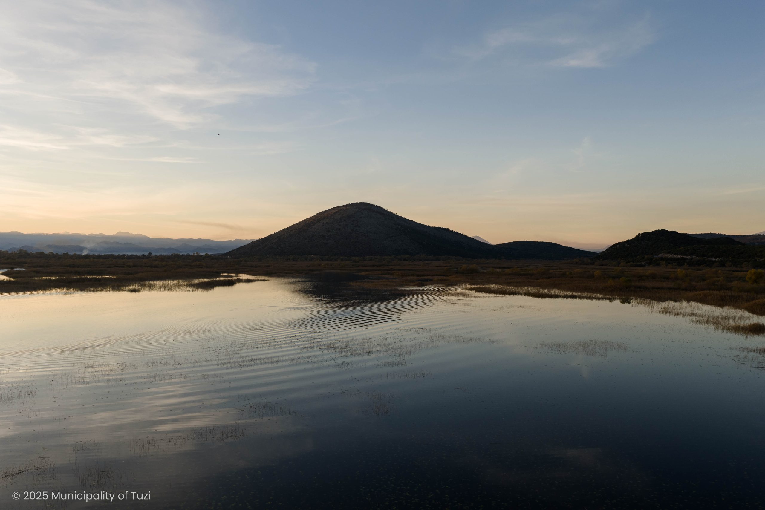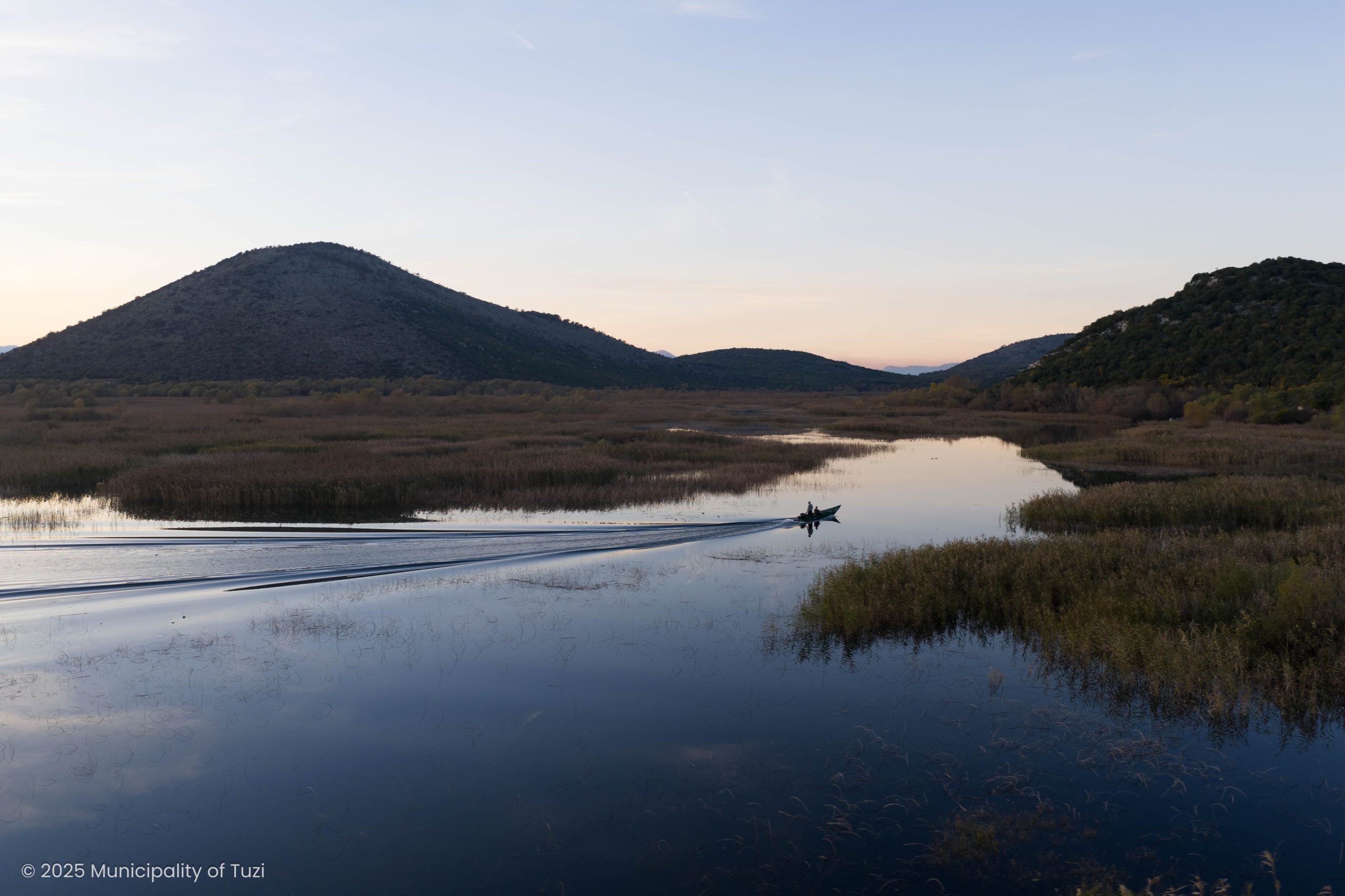
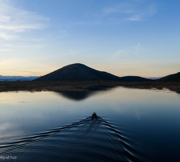

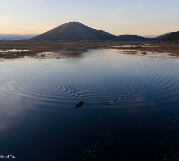

Skadar Lake lies in southeastern Montenegro, nestled in a valley separated from the Adriatic Sea by the Rumija mountain range.
Spanning 50 km in length and 14 km in width, the lake’s surface area fluctuates with the seasons. During spring and autumn, when water levels rise, it covers around 500 km², while in the drier summer months, it shrinks to about 350 km².
The lake also forms part of the border with Albania, with Montenegro owning 63.2% of its area. Its shoreline, stretching 168 km (110.5 km of which belongs to Montenegro), is dotted with jagged coves, charming bays, and traditional fishing villages.
Rich in history and culture, Skadar Lake is home to archaeological treasures, medieval monasteries and churches, fortifications, and examples of traditional architecture such as fishing villages, old bridges, mills, and wells.
The lake is easily accessible via the Podgorica–Bar/Petrovac road or the Podgorica–Bar railway.